
News & Updates
Updates and milestones from our lab.
ForestFireAI Project Showcased at UKEO 2026
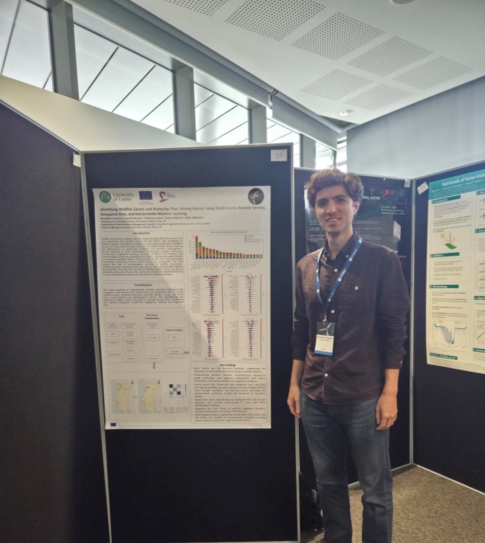
Dr Benyamin Hosseiny, Marie Skłodowska-Curie Actions (MSCA) Postdoctoral Fellow, presented the first preliminary results from the ForestFireAI project at UKEO 2026, held 15–17 September 2026 at the University of Warwick and hosted by the National Centre for Earth Observation (NCEO).
The presented research explores how multi-source Earth Observation and geospatial data can be used to investigate the environmental and human-related factors associated with different wildfire ignition causes. Using explainable machine learning, the study identifies cause-specific wildfire drivers and demonstrates the potential for attributing wildfires with previously unknown ignition causes.
Winners of the MSc Poster Competition at Environmental Intelligence 2026! :)
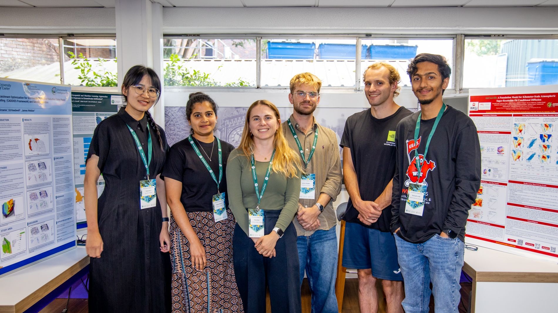
Congratulations to the winners of the MSc Poster Competition at Environmental Intelligence 2026! 👏 Special Congratulations to Sam Arrowsmith, whose MSc project Dr Miltiadou has officially co-supervised over the summer, but he actually led most of the work by himself! The award is well deserved. 🎉👏
The successful students presented their research during the poster session and throughout the conference, providing the opportunity to share their wide-ranging, innovative research with the wider Environmental Intelligence community.
Thank you to IBL Software Engineering for sponsoring this prize and enabling the winners to attend the conference and share their research. ⭐️
Click here to learn more about the Centre for Environmental IntelligenceServing as an Opponent at Aalto University, Finland
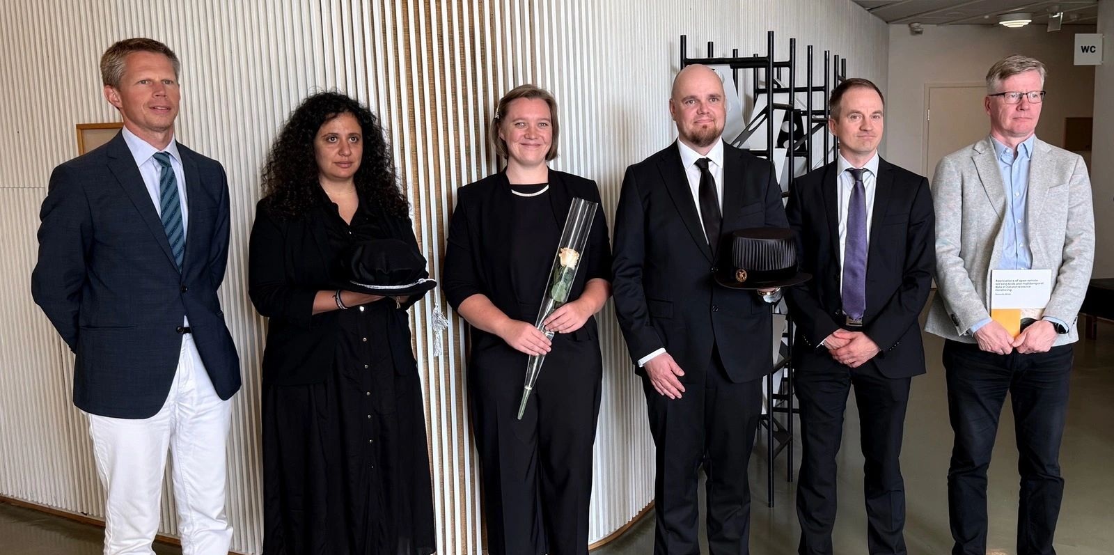
It was an honour for Dr Milto Miltiadou to be invited as an opponent to Samantha Wittke's doctoral defence at Aalto University, Finland 🇫🇮. Many thanks to Matti Vaaja, Eetu Puttonen and Henrikki Tenkanen for the invitation and hospitality.
🎉 Congratulations, Dr Samantha Wittke, on successfully defending your thesis! 🎓👏
Samantha developed a pipeline for processing Sentinel-2 data into time series 🌍🛰️. It is well worth checking out EODIE, particularly for organisations where access to Google Earth Engine (GEE) is restricted.
Another important contribution is the initiation of the LiPheStream 18-month time-series LiDAR dataset with Mariana Campos🌲📡: https://www.nature.com/articles/s41597-024-04143-w
It was also an honour to visit the Finnish Geospatial Research Institute (FGI), where Mariana Campos introduced Milto Miltiadou to the latest developments around the LiPhe system and time-series LiDAR research. Also Eija Honkavaara showed her innovative UAV approaches for detecting early bark beetle attacks. Really good work, definitely recommend reading about their work 🔬✨.
Keep the date for the 5th ML4EO: 14-16 June, 2027 :)

The 4th Machine Learning for Earth Observation (ML4EO) Conference was a great success! We welcomed 134 participants from 18 countries, featured 6 keynote speakers, and hosted 10 specialised workshops.
We look forward to welcoming you to the 5th ML4EO Conference at the University of Exeter, UK, next year. Save the date: 14–16 June 2027.
Check our archive hereDr Milto Miltiadou hold a PlotToSat workshop at ML4EO conference!

Dr Milto Miltiadou delivered the PlotToSat workshop at the 4th ML4EO Conference! PlotToSat efficiently generates time-series signatures from Sentinel-1 and Sentinel-2 imagery across multiple regions (e.g., thousands of field-based plots) for machine learning applications. Using Google Earth Engine, PlotToSat processed approximately 18.3 TB of Sentinel-1/2 data for 15,962 plots in under 24 hours.
We were delighted to welcome 18 on-the-day participants to the workshop, and it was fantastic to receive such positive feedback. Thank you to everyone who attended, and contributed to the discussions!
Looking forward to seeing how the community uses and contributes to PlotToSat!
Slides and code available on GithubDr Milto Miltiadou participated in the well-established ForestSAT conference.

ForestSAT is an international conference focusing on Spatial Analysis Technologies for forest related applications. Dr Milto Miltiadou participated as a workshop instructor, where she engaged participants with PlotToSat’s newest capabilities. She also gave an oral presentation on the latest developments and applications of PlotToSat. It was also an honour to participate as a mentor, where she has the chance to share her personal journey with early career researchers. The next ForestSAT conference will be held 5-9 June, 2028 - Madrid, Spain.
More info about ForestSAT 2028Dr Benyamin Hosseiny joined DASOS' Vision Group!

Dr Benyamin Hosseiny has started working on his MSCA postdoctoral Fellowship (ForestFireAI) on "Large-scale Prediction of Forest Fire Drivers from Space Using Multi-source Remote Sensing Data and Artificial Intelligence Techniques"! The project is in collaboration with Dr Henrik Persson (Swedish University of Agricultural Sciences - SLU) and Dr Tommaso Jucker (Selva lab, University of Bristol). Looking forward to the innovative results of the project!
More info about ForestFireAIMr James Chamberlain has been awarded a NERC GW4+ PhD studentship!

James Chamberlain has been awarded a NERC GW4+ PhD studentship to work on "Mapping Geohazard Proximity and Risk Trends Around UNESCO Sites". The supervisory team consists of Dr Milto Miltiadou (University of Exeter), Dr Oktay Karakus (University of Cardiff), Dr Athos Agapiou (Cyprus University of Technology) and Dr Andrew Bell (Devon UNESCO Biosphere Reserve). James is expected to start his PhD journey in September 2026. Congratulations to James for getting funding through this high-competitive call.
Projects
Explore our ongoing and completed projects.
People
Meet the researchers, and alumni.
Tools
Explore the open-source tools developed by our research group.
Join us
Become a member or collaborate.